The Dubai Metro Map is a simple and helpful guide for anyone using Dubai’s metro system. Whether you are a visitor or a daily traveler, the Dubai Metro Map 2025 makes it easy to understand metro lines, station routes, and transport zones. The new Dubai Metro Map is designed to save time, reduce confusion, and help passengers plan their journeys smoothly across the city.
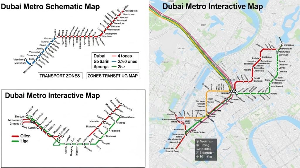
We provide three useful Dubai Metro maps to suit different travel needs. The first is a schematic map that clearly shows all stations on the Red Line and Green Line. This Dubai Metro map with numbers also includes zone details, which are important for calculating fares and choosing the right ticket.
The second map is an interactive version that shows the real locations of Dubai Metro stations along with transport zones. It also highlights Dubai Tram routes, the Palm Monorail, nearby hotels, shopping malls, and major tourist attractions, making the Dubai Metro Map a complete and user-friendly travel guide for Dubai in 2025.
Latest Dubai Metro Map – Quick & Easy Guide
The Dubai Metro Red Line opened on 9 September 2009 and was the first metro line in the city.
- The Dubai Metro Green Line started service on 9 September 2011.
- Some metro stations opened later, but both lines were fully operational by March 2014.
- The Expo 2020 extension became active in 2021, improving access to the Expo area.
- A new Dubai Metro Blue Line is currently under construction, and its planned route is shown on the updated Dubai Metro Map.

Dubai Metro Lines & Stations
- Red Line
- Total stations: 35
- Route runs between Centrepoint and Expo 2020 / UAE Exchange
- Connects major areas like airports, business districts, malls, and tourist spots
- Green Line
- Total stations: 20
- Route runs between etisalat by e& and Creek
- Serves Deira, Bur Dubai, traditional markets, and residential areas
- Interchange stations with Red Line: Union and BurJuman
Dubai Metro Zones & Ticket Information
- The Dubai Metro Zones Map divides the metro into 4 main fare zones.
- Dubai’s full public transport system (metro, bus, and tram) covers 7 zones.
- Ticket prices depend on the number of zones you travel through.
- One-day passes and other ticket options are available for travel across all zones.
Dubai Tram Line Highlights
- The Dubai Tram supports the metro network in busy areas.
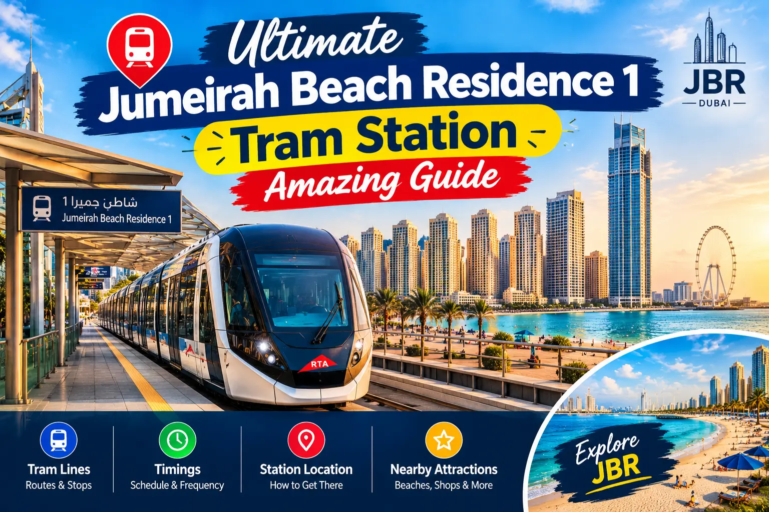
- Serves locations like Jumeirah Beach Residence, Dubai Marina, and Al Sufouh.
- Connects with the Red Line and Palm Monorail for smooth travel.
- Ideal for short trips to beaches, hotels, and shopping areas.
Types of Dubai Metro Map
Dubai offers two main types of metro maps to help passengers travel easily and understand the city’s metro system. These maps show metro lines, stations, and zones, making it simple to plan your journey and check fares. Here’s a guide to both types of Dubai Metro maps and how they can help you.
1. Dubai Metro Schematic Map
The Dubai Metro Schematic Map is simple and easy to use. It shows all metro lines with the names of stations in order along each line. This map also highlights transport zones, which helps passengers calculate fares quickly. It’s perfect for those who want a clear overview of the metro system without any extra details.
2. Dubai Metro Interactive Map
The Dubai Metro Interactive Map is more detailed and live. You can click on any station to see its name, timings, and nearby attractions. This map is useful for travelers who want to plan routes carefully and see real-time information while navigating the city.
Dubai Metro Route Map
The Dubai Metro Route Map places the metro lines over the city map of Dubai. It clearly shows the Red and Green lines running across the city, connecting important areas and providing a fast, traffic-free travel option. This map is great for anyone who wants to see how the metro links major landmarks, business districts, and residential areas.
Dubai Metro Transport System
Dubai has one of the most modern transport systems in the world, and the Dubai Metro is a key part of it. The metro is a fully automated, driverless train system managed by the Roads and Transport Authority (RTA). It is clean, safe, and easy to use, making it a popular choice for both residents and tourists. Whether you live in Dubai or are visiting, knowing the Dubai Metro Map and routes helps you travel around the city smoothly and save time.
A Smart Step Toward the Future
The main purpose of launching the Dubai Metro was to reduce traffic and improve public transport. The government encouraged people to use the metro instead of private cars, helping to lower road congestion. Since its launch, the metro has become a trusted travel option, with millions of passengers using it every month. Its driverless technology and reliable service have made it a leading example of modern urban transportation.
Dubai’s Growth and Transport Needs
Dubai is one of the seven emirates of the UAE and is home to nearly 3 million people. Located between Asia and Europe and surrounded by desert, the city has grown rapidly over the years. As Dubai expanded, the need for a strong transport system increased. The Dubai Metro Map plays an important role by connecting major residential areas, business hubs, and tourist locations across the city.
Supporting Tourism and Daily Travel
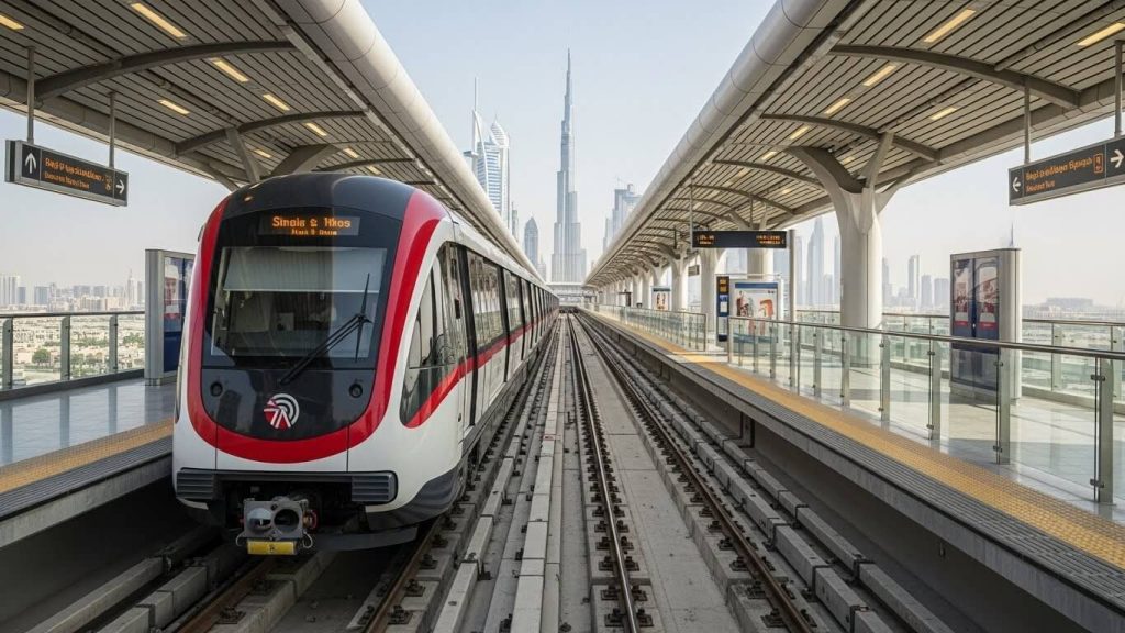
Dubai is famous for world-class landmarks like the Burj Khalifa and Burj Al Arab, which attract millions of visitors every year. This high number of tourists puts pressure on local transport. The metro offers a fast and efficient way to move around, helping both tourists and residents travel easily from one area to another without traffic delays.
Construction and Development of Dubai Metro
Construction of the Dubai Metro began in 2006 and was completed in 2009. The Red Line started with nine active stations and later expanded to include many more. The project cost around 4.2 billion US dollars and became one of the largest transport developments in the region. Today, the metro continues to grow and improve to meet the city’s needs.
Comfort, Design, and Innovation
The Dubai Metro is designed to match the city’s modern lifestyle. Trains and stations are fully air-conditioned and offer separate cabins for women and children. The metro stations were designed by an international architecture firm and feature advanced safety systems like platform screen doors. The Dubai Metro station map helps passengers easily locate stations and plan routes. For many years, Dubai Metro held the title of the world’s longest driverless metro system, with the Red Line still holding the record for the longest single driverless route.
Red Line Metro Stations
The Red Line Metro details are listed below:
- Stations: 35
- Route: Runs between Centrepoint (R11) and Expo 2020 (R76) / UAE Exchange (R42)
Red Line
- R11 – Centrepoint
- R12 – Emirates
- R13 – Airport Terminal 3
- R14 – Airport Terminal 1
- R15 – GGICO
- R16 – City Centre Deira
- R17 – Al Rigga
- R18 – Union
- R19 – Burjuman
- R20 – ADCB
- R21 – max
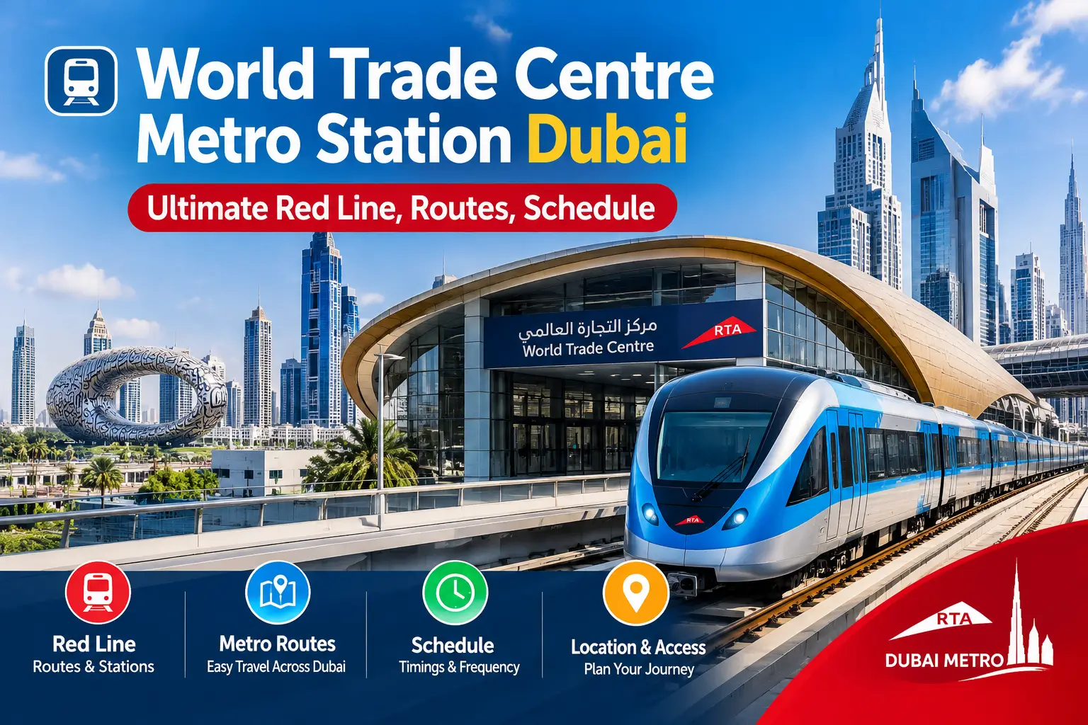
- R22 – World Trade Center
- R23 – Emirates Towers
- R24 – Financial Centre
- R25 – Burj Khalifa/Dubai Mall
- R26 – Business Bay
- R29 – ONPASSIVE
- R31 – Equiti
- R32 – Mall of the Emirates
- R33 – InsuranceMarket (formerly Mashreq)
- R34 – Dubai Internet City
- R35 – Al Khail
- R36 – Sobha Realty
- R37 – DMCC
- R38 – Jabal Ali
- R39 – Ibn Battuta
- R40 – Energy
- R41 – Danube
- R42 – Life pharmacy (UAE Exchange)
- R70 – The Gardens
- R71 – Discovery Gardens
- R72 – Al Furjan
- R73 – Jumeirah Golf Estates
- R74 – Dubai Investment Park
- R76 – EXPO 2020
Green Line Metro Stations on Dubai Metro Map
- Stations: 20
- Route: Between etisalat by e& (G11) and Creek (G30)
Key Stations
- G11 – etisalat by e&
- G12 – Al Qusais
- G13 – Dubai Airport Free Zone
- G14 – Al Nahda
- G15 – Stadium
- G16 – Al Qiyadah
- G17 – Abu Hail
- G18 – Abu Baker Al Siddique
- G19 – Salah Al Din
- G20 – Union
- G21 – Baniyas Square
- G22 – Gold Souq
- G23 – Al Ras
- G24 – Al Gubaiba
- G25 – Sharaf DG
- G26 – Burjuman
- G27 – Oud Metha
- G28 – Dubai Healthcare City
- G29 – Al Jadaf
- G30 – Creek
Tram Line
- 01 – Jumeirah Beach Residence 1
- 02 – Jumeirah Beach Residence 2
- 03 – Jumeirah Lakes Towers
- 04 – Dubai Marina Mall
- 05 – Dubai Marina
- 06 – Marina Towers
- 07 – Mina Seyahi
- 08 – Media City
- 09 – Palm Jumeirah
- 10 – Knowledge Village
- 11 – Al Sufouh
FAQs – Dubai Metro Map
1. What is the Dubai Metro Map?
The Dubai Metro Map is a guide that shows all metro lines, stations, and zones in Dubai. It helps both residents and visitors plan their trips, find the fastest routes, and travel around the city without confusion.
2. What types of Dubai Metro Maps are available?
There are two main types:
- Schematic Map: A simple map showing the metro lines, stations, and fare zones. Great for a quick overview.
- Interactive Map: A live map where you can click on stations to see their names, metro timings, and nearby places. Perfect for detailed travel planning.
3. How are Dubai Metro zones organized?
The metro network is divided into four main fare zones, while the wider public transport system (including buses and trams) covers seven zones. Ticket prices depend on how many zones you travel through. There are also one-day passes for unlimited travel across all zones.
4. How many lines and stations are there in Dubai Metro?
The Red Line has 35 stations, connecting major areas like Downtown Dubai, Dubai International Airport, and Expo 2020. The Green Line has 20 stations, serving older areas like Deira and Bur Dubai. The Dubai Tram connects popular locations such as Dubai Marina and Jumeirah Beach Residence.
5. Where can I find the latest Dubai Metro Map?
You can find the latest Dubai Metro Map online in both schematic and interactive versions. It shows all operational lines, stations, upcoming extensions like the Blue Line, fare zones, and nearby landmarks for easy travel planning.
Conculsion
The Dubai Metro Map is an essential tool for anyone traveling in Dubai, whether you are a resident or a tourist. With detailed options like the schematic map for a quick overview and the interactive map for real-time station information, it makes navigating the city simple and convenient. Covering the Red, Green, and upcoming Blue Lines, along with fare zones and key landmarks, the metro map helps plan journeys efficiently, save time, and enjoy a smooth, traffic-free travel experience across Dubai.